Skip links

Hydrographic Survey

Accurate Marine Data for Better Decisions

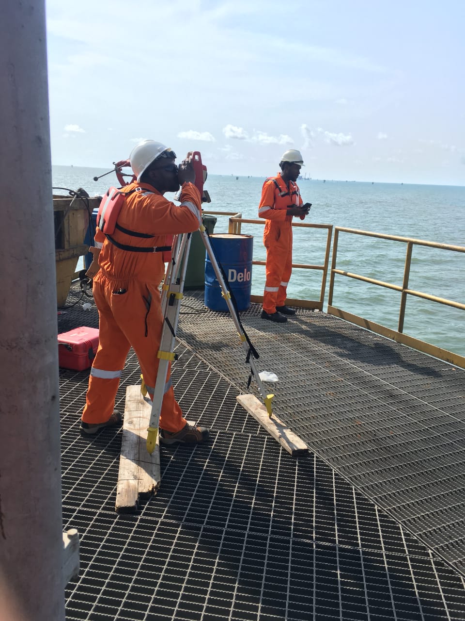
As one of the best Hydrographic surveying companies in Port Harcourt, Rivers State, Nigeria, we provide critical information required for safe navigation, offshore construction, dredging, coastal development, and marine infrastructure projects. Using modern survey equipment and internationally accepted methodologies, Feniz delivers precise seabed mapping and depth measurements that support engineering design and operational planning.

Our Capabilities

  • Bathymetric Surveys
  • Single Beam Echo Sounder Surveys
  • Multibeam Echo Sounder Surveys
  • Site Surveys
  • Route Surveys
  • Pipeline Pre-Lay Surveys
  • As-Built Surveys
  • Rigmove and Navigation
  • Harbour Surveys
  • Dredging Support Surveys
  • Coastal and River Surveys
Get Intouch with us

Hydrographic Survey FAQs

Hydrographic surveying is the measurement and mapping of underwater environments, including water depths, seabed features, underwater structures, channels, and marine infrastructure. Hydrographic survey data is used for navigation, dredging, offshore construction, engineering design, marine development, and seabed assessment.

Yes. Feniz Geo-Spatial provides hydrographic surveying services in Nigeria for marine, offshore, construction, dredging, infrastructure, oil and gas, ports, and other projects requiring accurate underwater measurements and positioning.

Hydrographic surveys are used for applications such as:

  • Bathymetric mapping
  • Dredging surveys
  • Pre- and post-dredging surveys
  • Port and harbour development
  • Offshore construction
  • Pipeline and cable route surveys
  • Marine infrastructure development
  • Seabed mapping
  • Navigation and channel assessment
  • Construction planning and positioning

Yes. Hydrographic and bathymetric surveying forms part of Feniz Geo-Spatial’s marine survey capabilities. Bathymetric surveys provide detailed information about underwater depths and seabed conditions needed for marine construction, dredging, navigation, and engineering projects.

Hydrographic surveying provides accurate information about water depths, seabed features, underwater obstructions, and existing marine infrastructure. This information helps engineers and contractors plan offshore construction activities safely, accurately, and efficiently.