Skip links

Geophysical Survey

Understanding the Seabed Before Construction Begins

Feniz provides high-resolution geophysical investigations to identify seabed conditions, buried objects, geological hazards, and other features that may affect offshore developments. As one of the top Geophysical surveying companies in Port Harcourt, Rivers state, our surveys help clients reduce project risks and optimise engineering design.

Our Capabilities

  • Side Scan Sonar Surveys
  • Magnetometer Surveys
  • Sub-Bottom Profiling
  • Debris Clearance Surveys
  • Pipeline & Cable Detection
  • Seabed Imaging
  • Geohazard Assessment
Get intouch with us

Geophysical Survey FAQs

A geophysical survey uses specialized instruments and measurement techniques to investigate the physical properties and conditions of the seabed, subsurface, or surrounding environment without relying solely on conventional excavation or drilling.

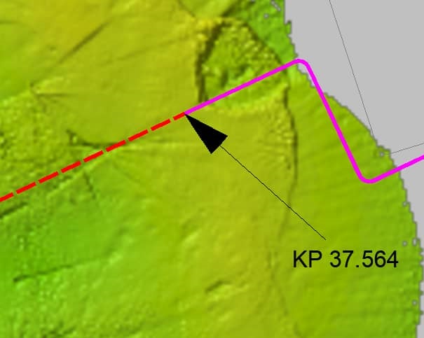
Marine geophysical surveys can help identify seabed features, subsurface conditions, potential obstructions, buried objects, geological structures, and other characteristics relevant to offshore engineering and construction.

Yes. Feniz Geo-Spatial provides geophysical survey services for offshore, marine, oil and gas, infrastructure, and construction-related projects.