

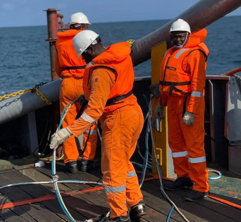
Feniz Geo-Spatial and Services Limited provides integrated offshore survey, positioning, subsea engineering, and geospatial solutions that support the planning, execution, and maintenance of marine and offshore infrastructure. Our multidisciplinary team combines technical expertise with advanced technologies to deliver accurate data, dependable engineering support, and safe project execution across every phase of offshore development.
What We Do
Comprehensive Offshore Survey, Geospatial & Engineering Solutions
Hydrographic Survey
Geophysical Survey
ROV & Subsea Engineering
Geotechnical Survey
Equipment Rentals & Technical Support
Construction Survey & Position
Industries We Serve
Our services support clients across multiple sectors, including:
- Oil & Gas
- Offshore Construction
- Marine Infrastructure
- Ports & Harbours
- Dredging
- Renewable Energy
- Telecommunications
- Government & Regulatory Agencies
- Engineering, Procurement & Construction (EPC) Contractors
- Marine and Coastal Development

Connor Stevens
Berkeley, CA
Connor Stevens
Berkeley, CA

Connor Stevens
Berkeley, CA
Connor Stevens
Berkeley, CA
Connor Stevens
Berkeley, CA
“We appreciate the quality workmanship and the fine attitude of the employees of One Construction. We are very pleased with the overall management, capabilities, and production.”
“We appreciate the quality workmanship and the fine attitude of the employees of One Construction. We are very pleased with the overall management, capabilities, and production.”
“We appreciate the quality workmanship and the fine attitude of the employees of One Construction. We are very pleased with the overall management, capabilities, and production.”
“We appreciate the quality workmanship and the fine attitude of the employees of One Construction. We are very pleased with the overall management, capabilities, and production.”
“We appreciate the quality workmanship and the fine attitude of the employees of One Construction. We are very pleased with the overall management, capabilities, and production.”
Why Partner with Feniz?
Every project we undertake is driven by precision, safety, and client satisfaction. We understand that dependable survey data and engineering support are fundamental to successful offshore operations. By combining experienced professionals, proven methodologies, and advanced technologies, we deliver solutions that help our clients reduce risk, improve efficiency, and achieve project success.





Ready to Discuss Your Next Project?
Whether you require hydrographic surveys, offshore positioning, geophysical investigations, ROV inspection, or subsea engineering support, Feniz Geo-Spatial and Services Limited is ready to assist.